Ride, Explore, Connect
East10ec brings you the best motorcycle routes and outdoor adventures around East Tennessee, sharing stories and tips for every journey.
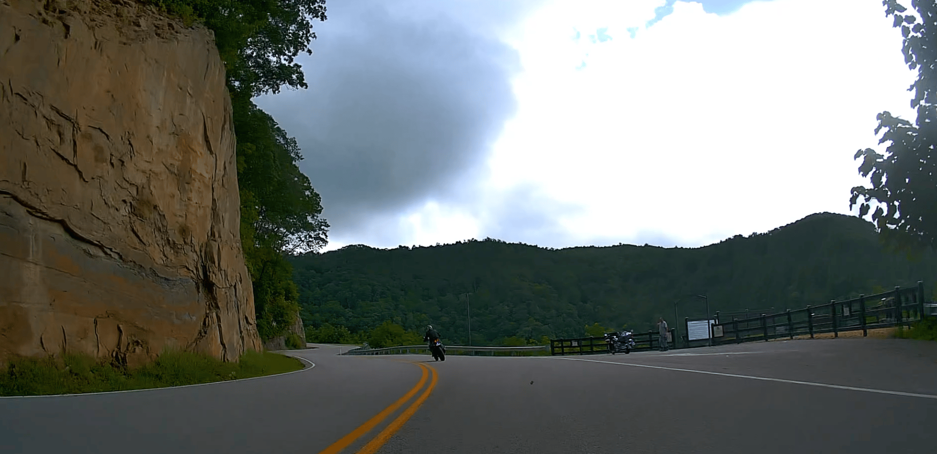
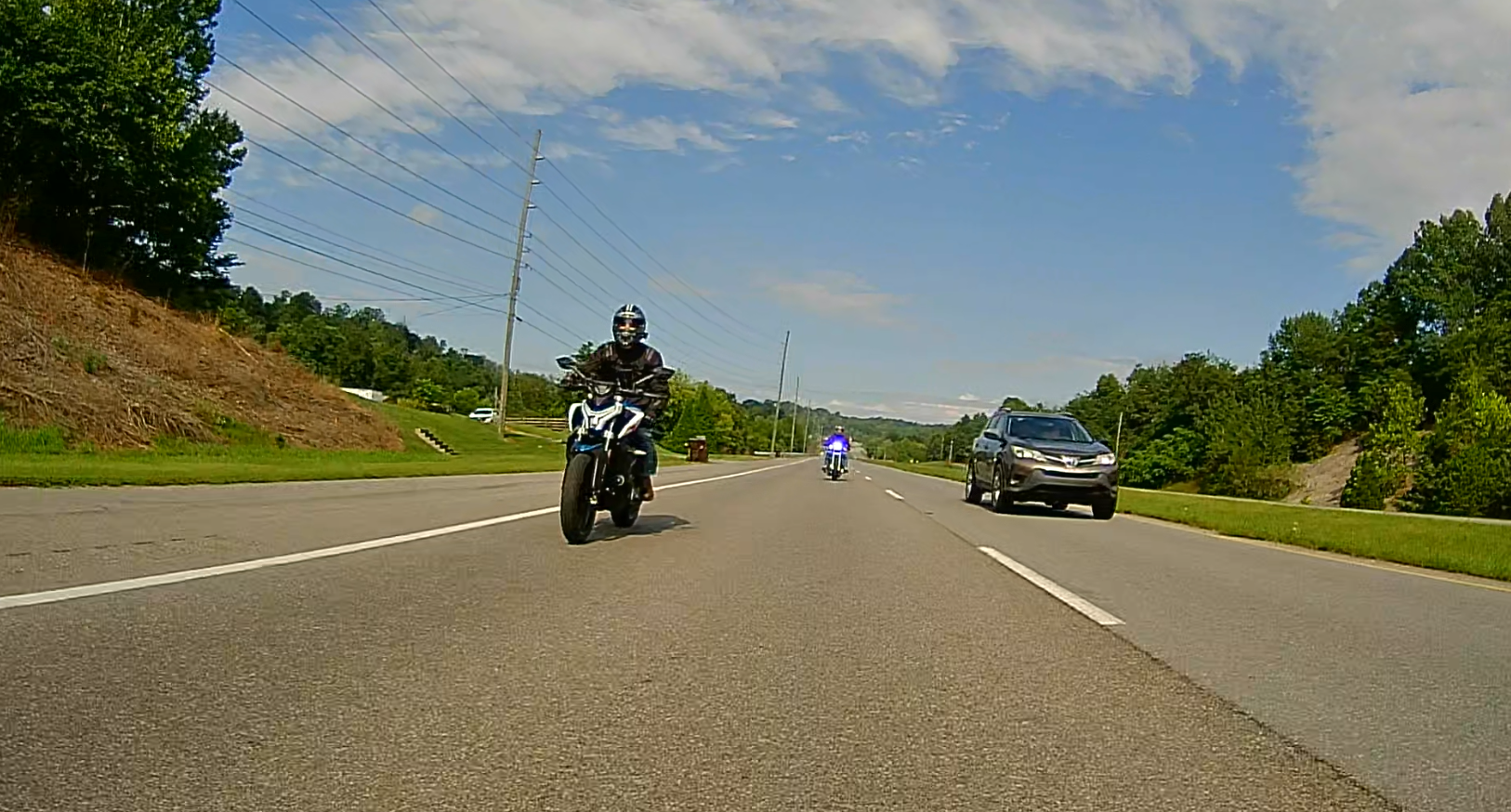
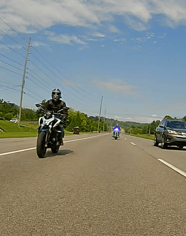
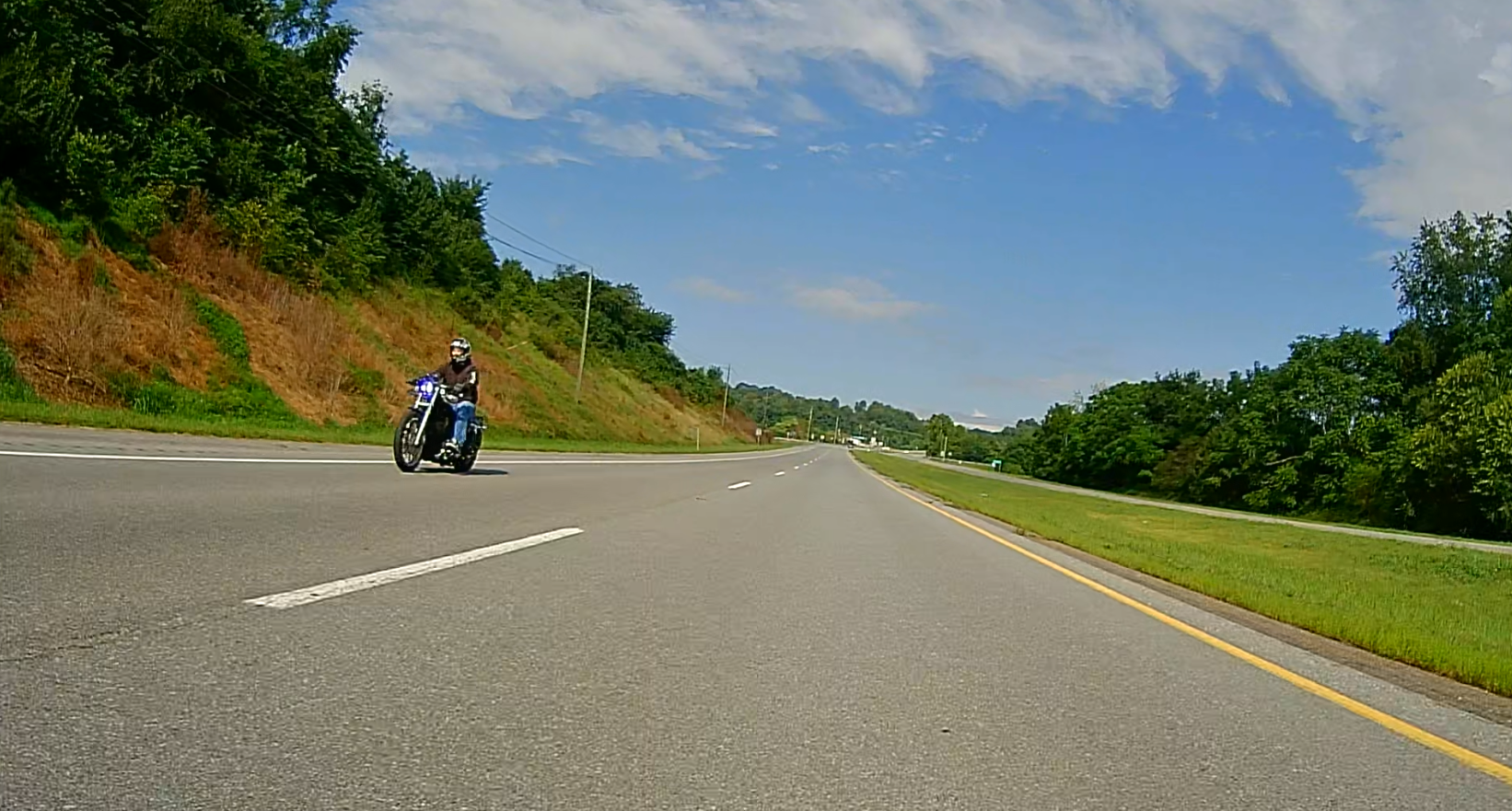
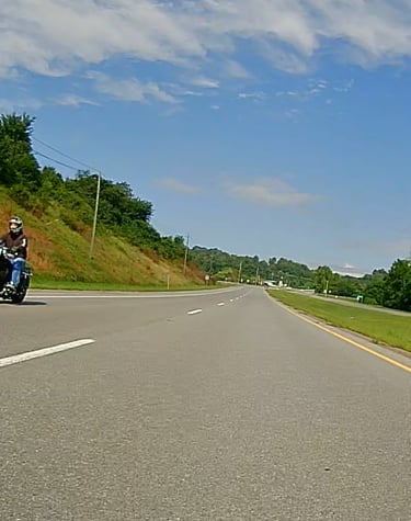
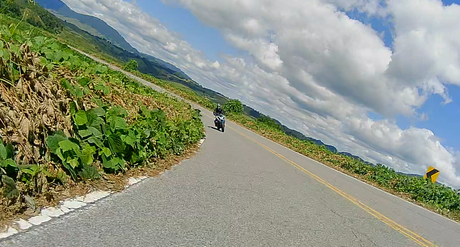
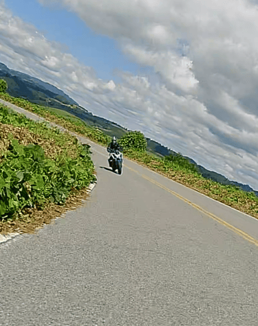
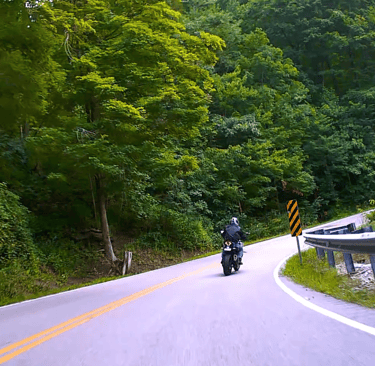
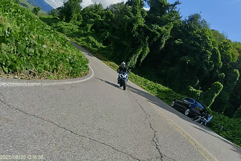
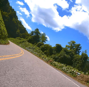
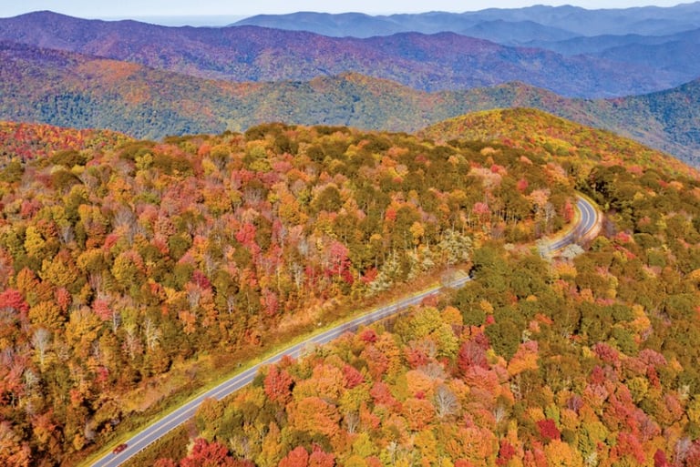
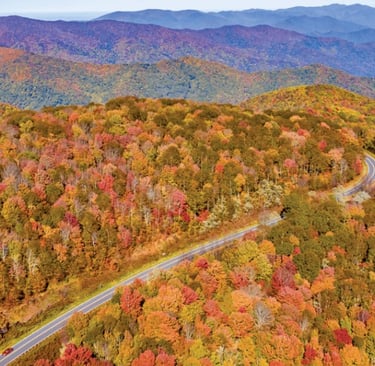
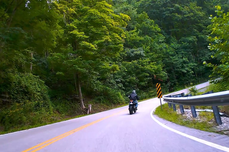
Routes are Ready
Snapshots from our favorite East Tennessee rides.
Route Maps
Find the best motorcycle routes winding through East Tennessee’s scenic backroads and mountain passes.
Back of the Dragon
Tazewell Va. to Marion Va.
Distance 32 miles on state route 160, 318 curves, Total miles for the round trip from Kingsport and back 184 miles.
This map shows the route we took from Kingsport Tn. up St. Rte 23 to Va. St. Rte 71 which is a very scenic road till we reached St. Rte 58 junctioning with St. Rte 19 to Tazewell Va. stopped at the Back of the Dragon outdoor cntr. for some eats. Then continued to St. Rte 16 for the curvey ride of a life-time. About midway smile for the camera, where you can go to their website a get a pic of your ride thru the curves. Continuing on to Marion Va. then onto I-81 for a quick ride down the interstate back home. Unless like us you want a calmer ride down St. Rte 11 thru the small towns home to Kingsport.
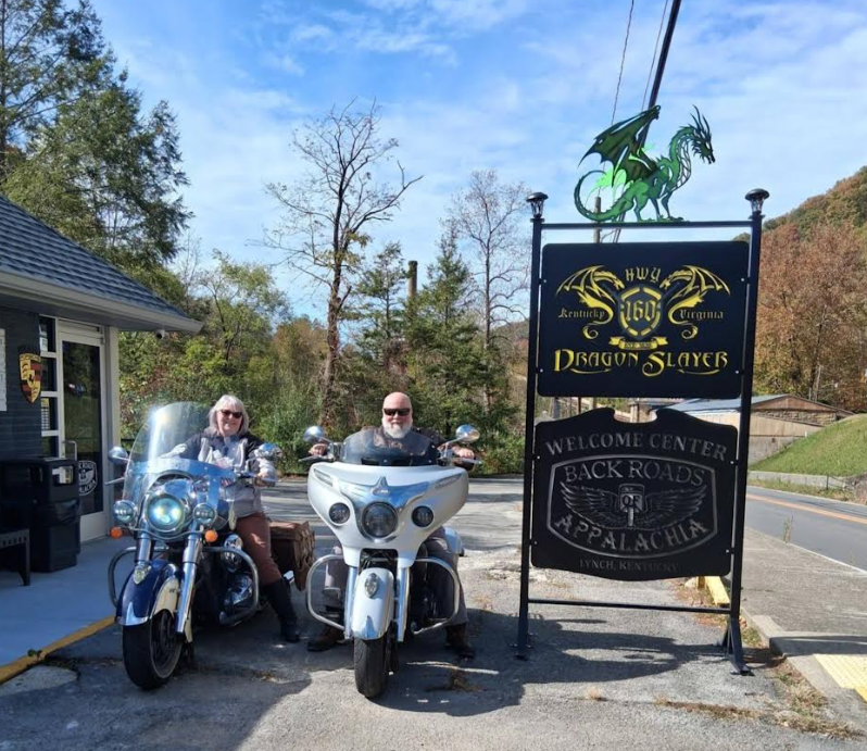
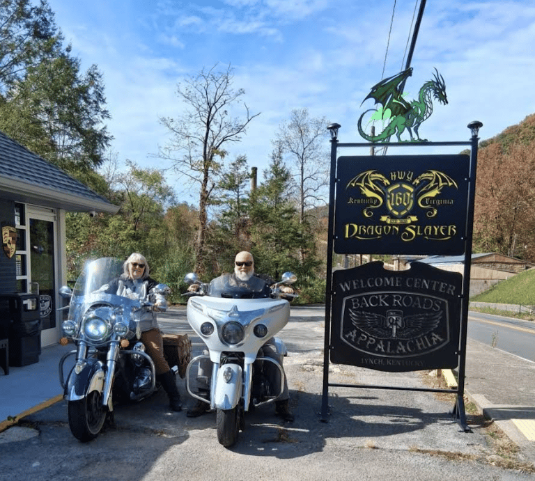
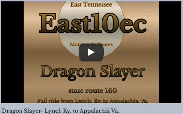
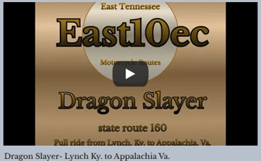
Dragon Slayer and beyond!
St. Rte 160 from Appalachia Va. to Lynch Ky. 23.8 miles/ 226 curves. and beyond/ total miles for map was 149.
This map show the route we rode from Kingsport, Tn. up into SW Virginia and on into Kentucky, to visit the Dragon Slayer, St. Rte 160 between Appalachia Va. and Lynch Ky. at the top of the mtn. as you cross over into Kentucky you attain the highest point in Kentucky, Black Mtn.located in Harlan County near the Virginia border, with a summit elevation of about 4,145 feet (1,263 meters) above sea level. There is a beautiful overlook near this point stop and take in God's creation. Continue on down the mtn. into the town of Lynch and stop at the Dragon Slayer outdoor cntr., this was our goal destination, but we continued on to Cumberland Ky. to junction with Rte 19 toward Harlan Ky. jumping on St. Rte 421 going towards Pennington Gap Va. on over to junction with Rte 58 and across Stickleyville mtn.( top of mtn. overlook is beautiful ) to Duffield Va. where we jumped back on Rte 23 home. here a video of the ride from Lynch Ky. to Appalachia Va. https://youtu.be/c5exSglrdHA

Scenic day trip with some good curves
This route only 94 miles, curves between Coeburn Va. and Dungannon Va. worth the ride.

This map show the route we rode from Kingsport, Tn. up into SW Virginia on short ride, up St. rte 71 thru Nickelville Va. junctioning with st. Rte 58 thru St. Paul Va. to Coeburn Va. where we then took St. Rte 72 down the crooked road into Dungannon. Half-way down 72 into Dungannon, you come to (Hanging Rock day use area) in case your a hiker or just need a short rest. Staying on 72 till you junction with St. Rte 71 in Gate City Va. and then home.
Tenn. 421 ( The Snake )
Bristol, Tn. to Mountain City, Tn.
Distance 32- 37 miles, 489 curves, This map is showing several different routes within the same map.
This map shows the route we took from Kingsport Tn. thru Bristol, Tn. into Shady Valley Tn. stopping at the famed Shady Valley Country Store for eats and drinks, then on into Mountain City, Tn. but didn't stop there. went on into Damascus Va. and then back to Shady Valley where we decided to go up St. Rte 91 into Elizabethton and then home. Many variables of ways to ride this 112 mile area. Spend the day. Enjoy the mountains and especially the curves.

Tail of the Dragon:
The Tail of the Dragon at Deals Gap (U.S. 129) is a premier 11-mile, 318-curve driving road in North Carolina/Tennessee known for extreme technicality, popular with motorcyclists and sports cars. Running along the Great Smoky Mountains, it features no driveways or intersections, with a 30 mph speed limit, requiring high caution and skill. We have not been on this route but hope to in 2026, here is a link to information on the route, they have links and maps to several area routes to ride in and around the Tail of the Dragon. https://tailofthedragon.com/
Blue Ridge Parkway
The Blue Ridge Parkway is 469 mile route thru the Blue Ridge Mtns. of North Carolina and Virginia, that spans thru the heart of Appalachia. It is considered one of America's most celebrated scenic routes. Here is a link to the Blue Ridge Parkway's interactive map.
Cherohala Skyway
Cherohala Skyway is a 43-mile National Scenic route connecting Tellico Plains, Tennessee, and Robbinsville, North Carolina, traversing the Cherokee and Nantahala National Forests.
Offers 14+ scenic overlooks, several hiking trails, not no gas stations on the route. appox. 1 - 2 hour drive.
Devils Triangle
The Devils Triange consists of a 44 mile round trip from Oliver Springs Tn. up thru the Cumberland Plateau starting at TN-62 to TN-116, there is a 750 feet gain in elevation in a 2 mile section, then you drop 1,600 feet in 1.5 miles. you stay on TN-116 all the way back to Oliver Springs Tn. for the end of the loop.
Diamond Back 226
The Diamond Back consist of around 190 steep, climbing curves in just over 10 miles? 360 degree switchbacks and amazing scenery make the Diamondback, NC 226, a must do on every motorcyclist list. The Diamondback 226 is just below Spruce Pine NC.


“This website and videos may include affiliate links. If you make a purchase, I may earn a commission.”
“As an Amazon Associate, I earn from qualifying purchases.”
Contact
Questions? Reach out anytime!
contact@east10ec.com
© 2025. All rights reserved.


web design by: 1809designs.com
Need Hosting for your own website? https://hostinger.com?REFERRALCODE=QGRNEWMANP2A