

Welcome to East10ec Hiking
We share trails, tips, and stories from East Tennessee’s best hiking spots to inspire your next adventure.
Our Mission
Join Us
Connect with fellow hikers, share your experiences, and find fresh routes to explore in East Tennessee.
East Tennessee
Hiking trails weave through lush forests and along sparkling streams in the heart of East Tennessee.
Location
Great Smoky Mountains
Appalachian Mountains
Area Trails:
Bays Mtn. Park & Plantarium
Bays Mountain Park & Planetarium, nestled in scenic Kingsport, Tennessee, is a 3,788 acre nature preserve and the largest city owned park in the state. The park features a picturesque 44 acre lake, a Nature Center with a state-of-the-art Planetarium Theater and immersive native animal habitats.
Laurel Run Falls
Laurel Run Park is a great place for a picnic and a short hike to the falls. Located just outside of Church Hill, TN on the edge of Bays Mountain and the South Holston River, the setting is quite nice.
Devil's Backbone Trail
One of the more challenging trails in Warrior's Path state park also has some of the richest rewards. Be sure to visit the ridgetop overlooks, then hike on down to see the remnants of early settlement in the valley, and cool your feet in Fall Creek. appox. 2 1/2 miles.
Dennis Cove Falls/Trail Head/ Appalachian Trail
Dennis Cove Falls trail is a 1.25 miles trail that follows Laurel Fork that take you to 2 waterfalls with a fairly large swimming hole. Dennis Cove trailhead (located on Dennis Cove Road near Hampton, TN) offers direct, immediate access to the Appalachian Trail , positioned about 4 miles from U.S. 321. It serves as a popular access point for hiking north towards Watauga Lake (approx. 8.9 miles) or south towards US 19E.
Laurel Fork Falls
Located in the area called the Pond Mountain Wilderness, Laurel Falls is a popular destination for hikers due to its huge 40’ high & 50’ wide falls with a very picturesque setting. The hike to the falls can be challenging and requires good footwear and physical ability. You have a choice of two main routes for reaching the falls: a nearly 5.5 mile Hampton Blueline/Laurel Falls Trail combined with a hike along the Appalachian National Scenic Trail, or the more moderate route along the Appalachian Trail from Dennis Cove about a 2.6 miles to and from Dennis Cove.
Buffalo Mtn. Trails
Buffalo Mtn. offer several Trails and loops ranging from less of a mile to around 5 miles when combined with other trails and loops. Most are concidered medium difficulty. There are around 8 trails consisting of Cascade, Fork Knob, Fork Ridge, Hartsell Hollow, High Ridge, Noggin, Tower Ridge and White Rock trail which has a pretty spectacular overlook.
White Rocks and Sand Cave/ Ewing Va.
Not for the faint of heart, the White Rocks overlook and Sand Cave hike is a appox. 8 mile round trip hike, that has a 2,277 ft. gain in elevation. This is a fairly difficult hike but worth the effort. It's approx. 2.3 mile to the split to go the either White Rock overlook or Sand Cave. Take your pick which way you want to go first, Sand Cave is another 1.5 miles to the left, it is a natural formation created from wind erosion that made a 250 ft wide cave of sand. Retrace your steps back to get to White Rock Overlook, which be warned the last little bit of trail is very steep, but the view is worth it. Then retrace your steps back to entrance. Note/ if you plan on anything except a day hike you most likely need to get a permit.
Pinnacle Overlook
The Pinnacle Overlook is a long hike but more of a place to visit a scenic overlook that offers great beauty. There are many trails that lead here out of the Wilderness Road Campground.
Blue Hole Falls
Located on Holston Mountain in the Stoney Creek community of Carter County, TN. The falls’ name, Blue Hole Falls, comes from the deep blue pool in front of waterfall. Located in the Cherokee National Forest off Panhandle Road, the trail is roughly 0.4 to 0.5 miles long with a 85 ft elevation change, featuring steep, root-covered sections and steps.
Deep Creek Waterfalls Loop
Deep Creek Waterfall Loop is a popular trail in the Great Smoky Mountains National Park near Bryson City, North Carolina. It is primarily known for providing access to three distinct waterfalls—Juney Whank Falls, Tom Branch Falls, and Indian Creek Falls—within a relatively short distance. There are 2 ways to hike this area. The short Waterfall Loop (approx. 2.4 miles): This is the most popular version for families and casual hikers. It hits all three waterfalls and typically takes 1–1.5 hours to complete. Or the full Deep Creek Loop (approx. 5.1 miles): This "Intermediate" route climbs away from the creek into the forest for a more secluded experience before returning to the water.
Clark's Creek and Sill Branch
Clarks Creek Recreation Area is located in the Cherokee National Forest's Bald Moutain Zone. The trail, often described as easy to moderate, follows a creek through a lush forest of hemlocks and rhododendrons. Sill Branch Falls is a 40-50 foot waterfall, also in the area Buckeye Falls, and Pine Ridge Falls.

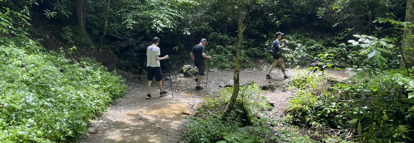
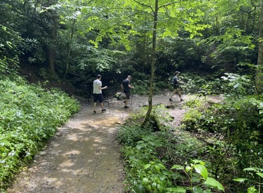
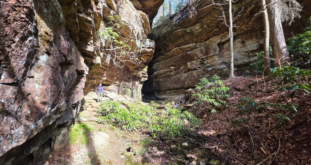
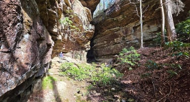
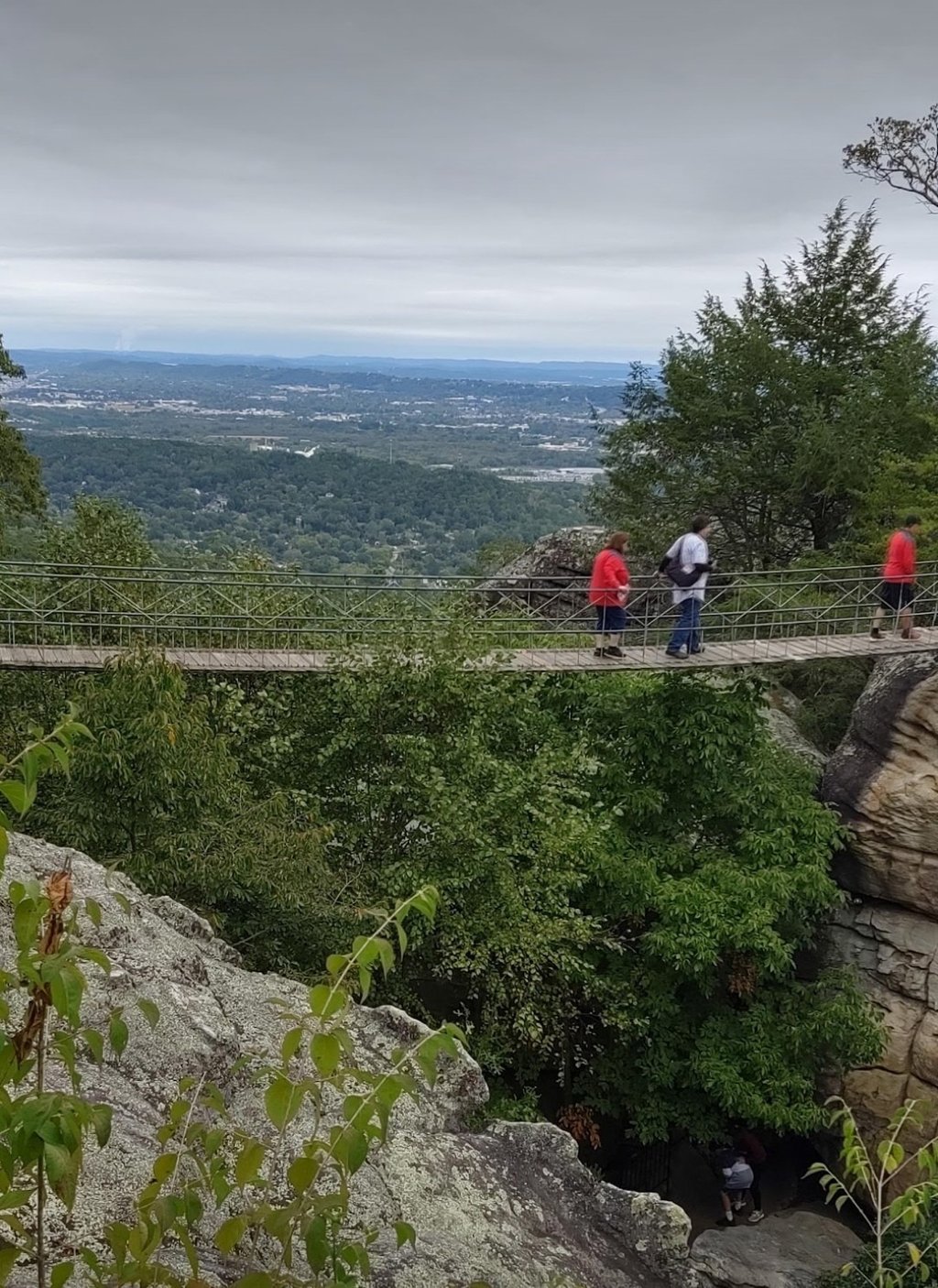
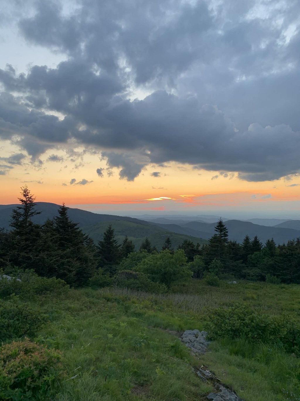
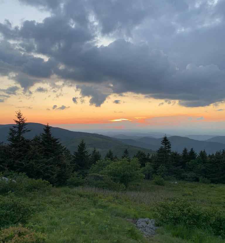
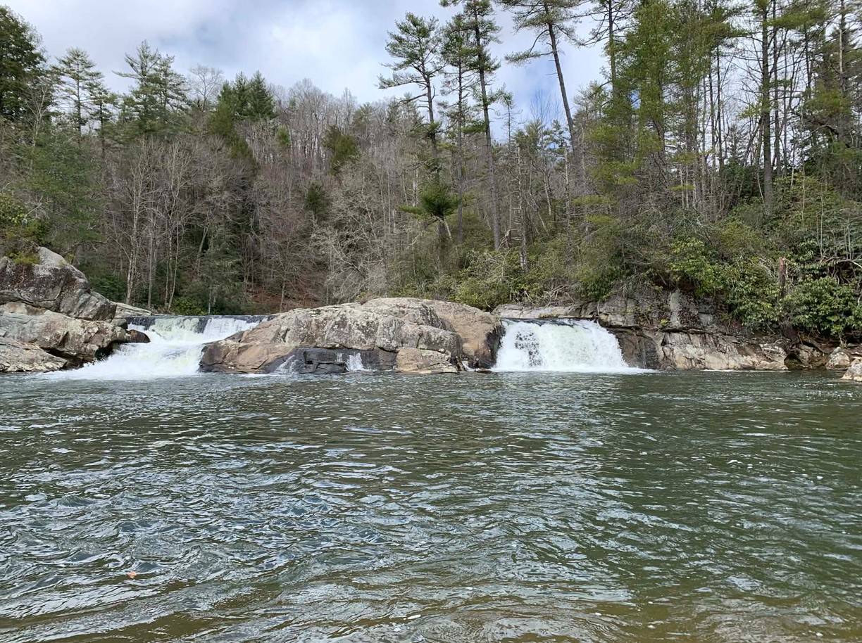
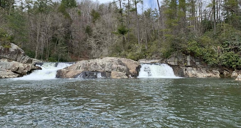
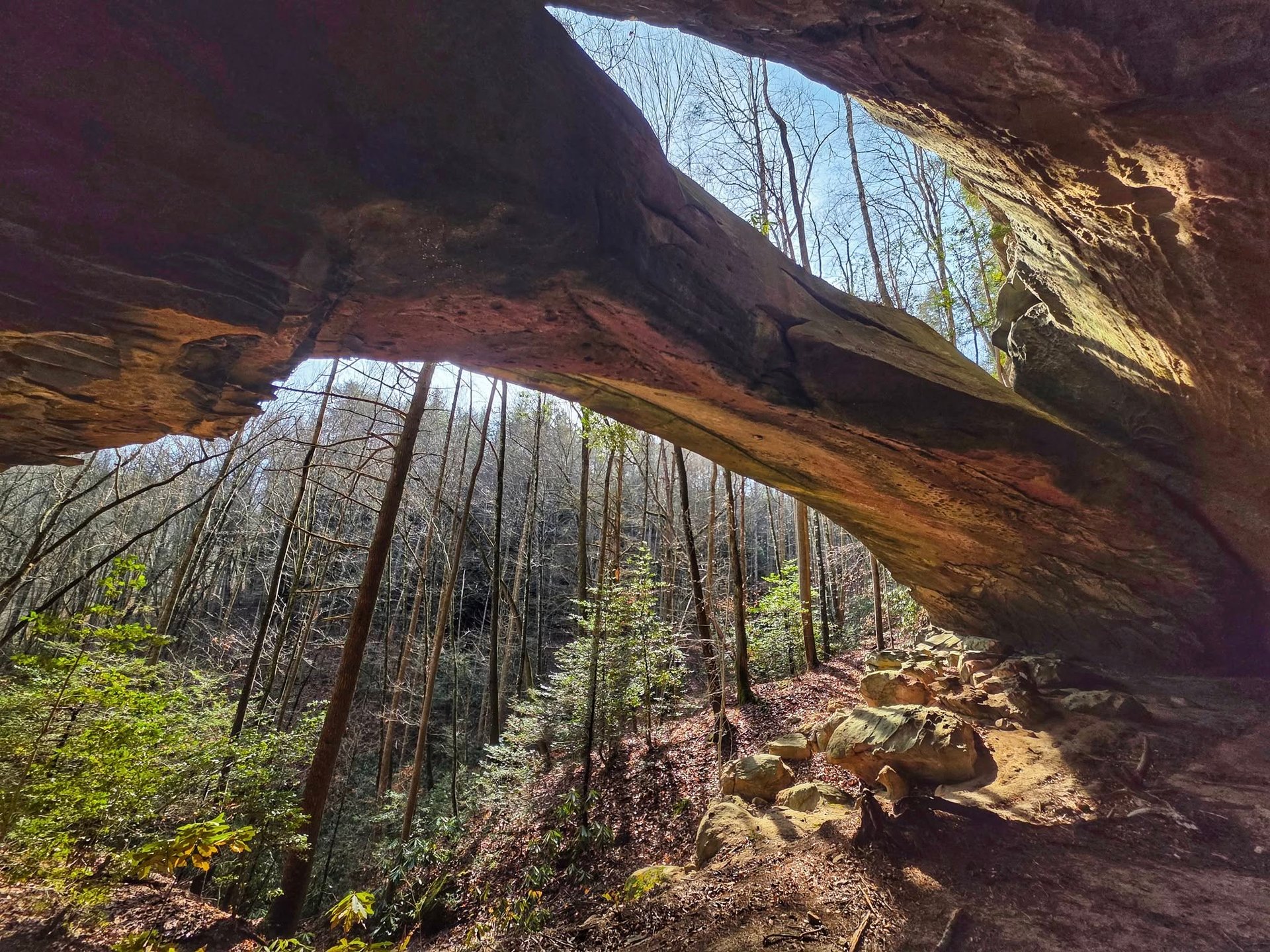
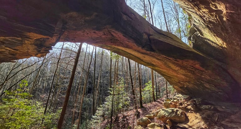
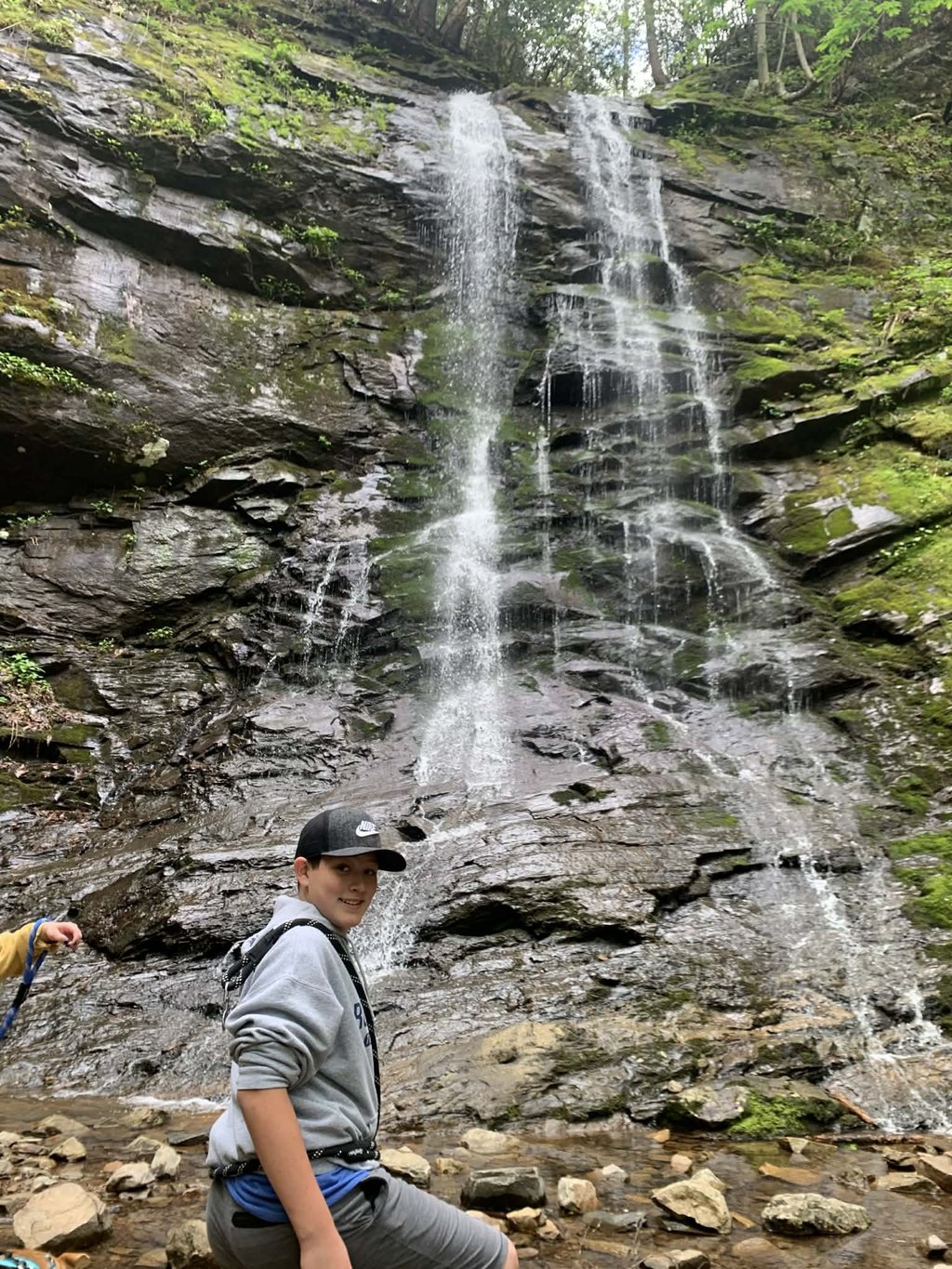
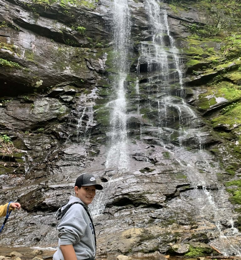
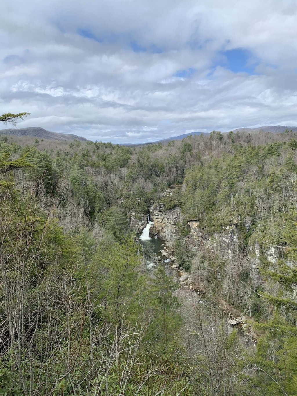
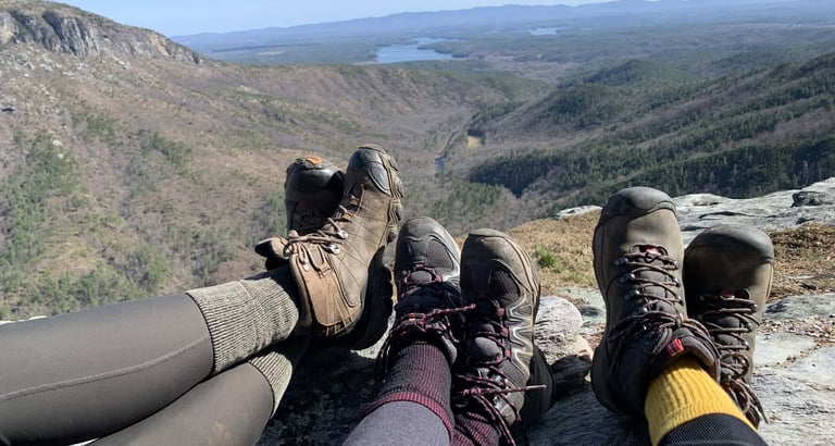
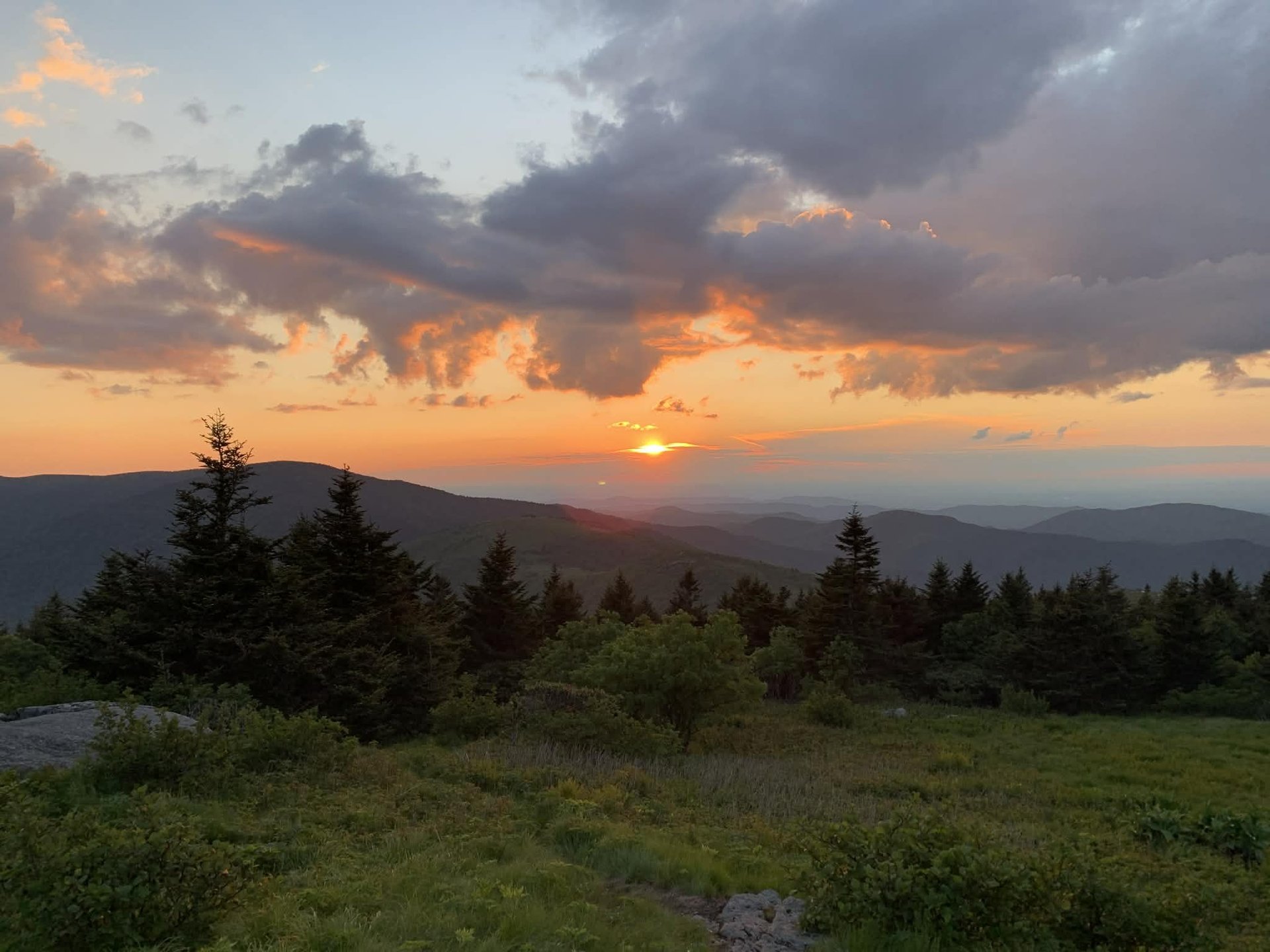
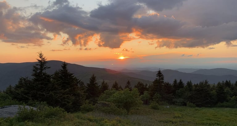
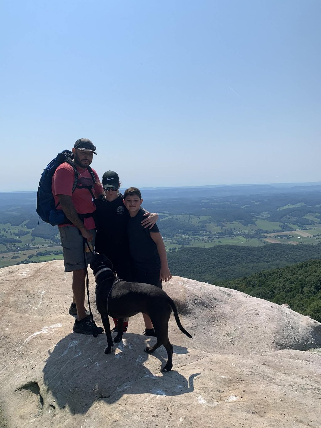
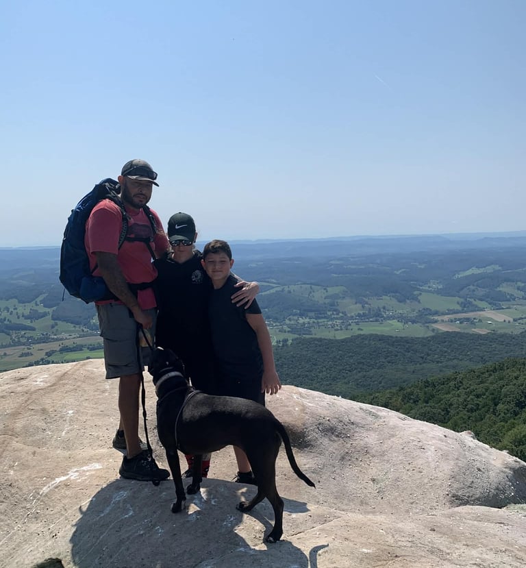
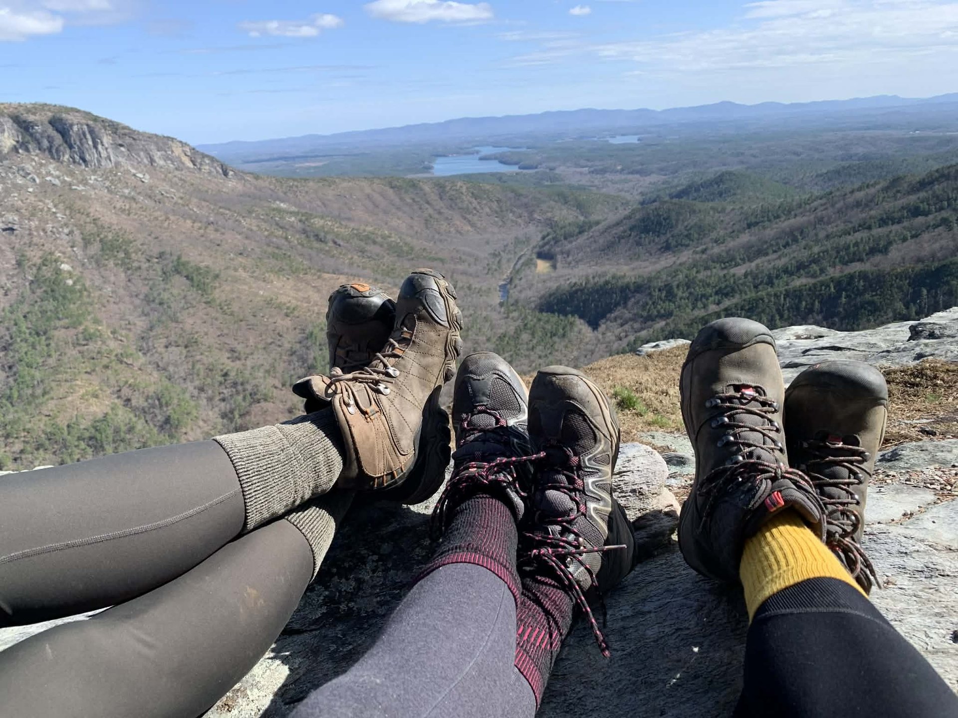
Trail Views
Snapshots from East Tennessee's best hiking spots.


Trail suggestions or info?
We are always looking for new Campsites and Trails to add to the map.
We would love to hear from you, any trail maps, routes, camping areas or just your favorite place to relax with nature. Reach out via the contact form below.


“This website and videos may include affiliate links. If you make a purchase, I may earn a commission.”
“As an Amazon Associate, I earn from qualifying purchases.”
Contact
Questions? Reach out anytime!
contact@east10ec.com
© 2025. All rights reserved.


web design by: 1809designs.com
Need Hosting for your own website? https://hostinger.com?REFERRALCODE=QGRNEWMANP2A